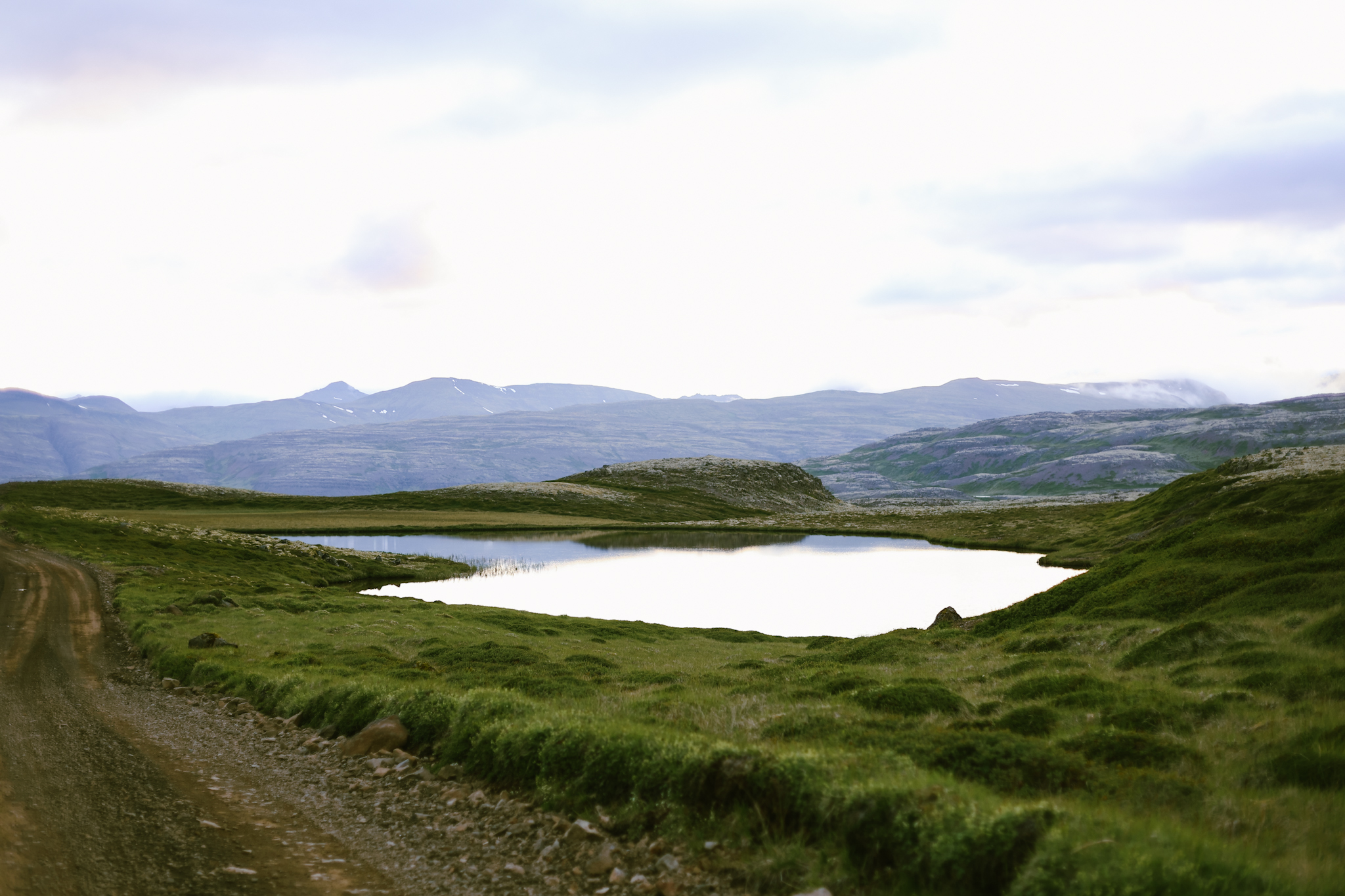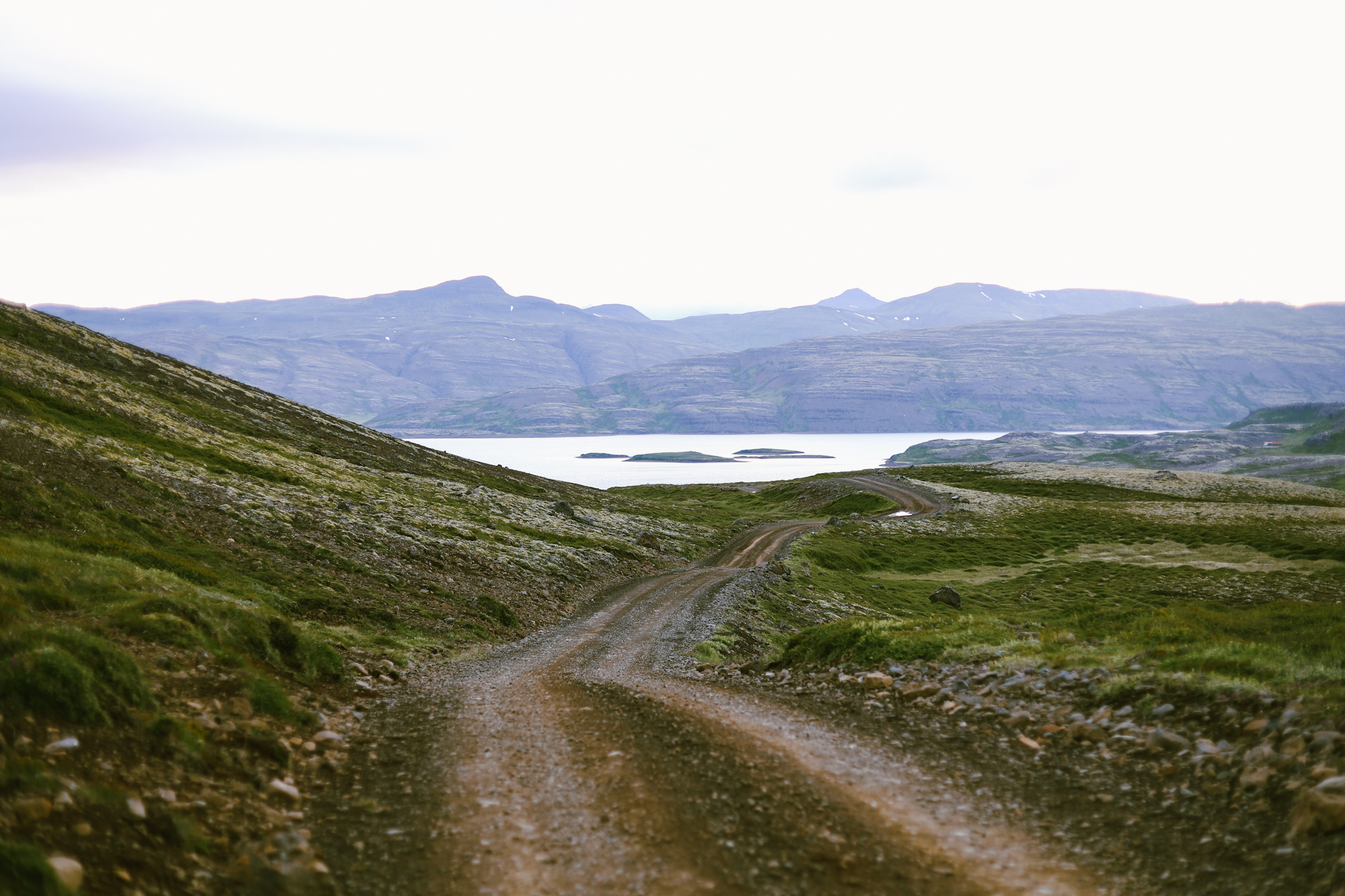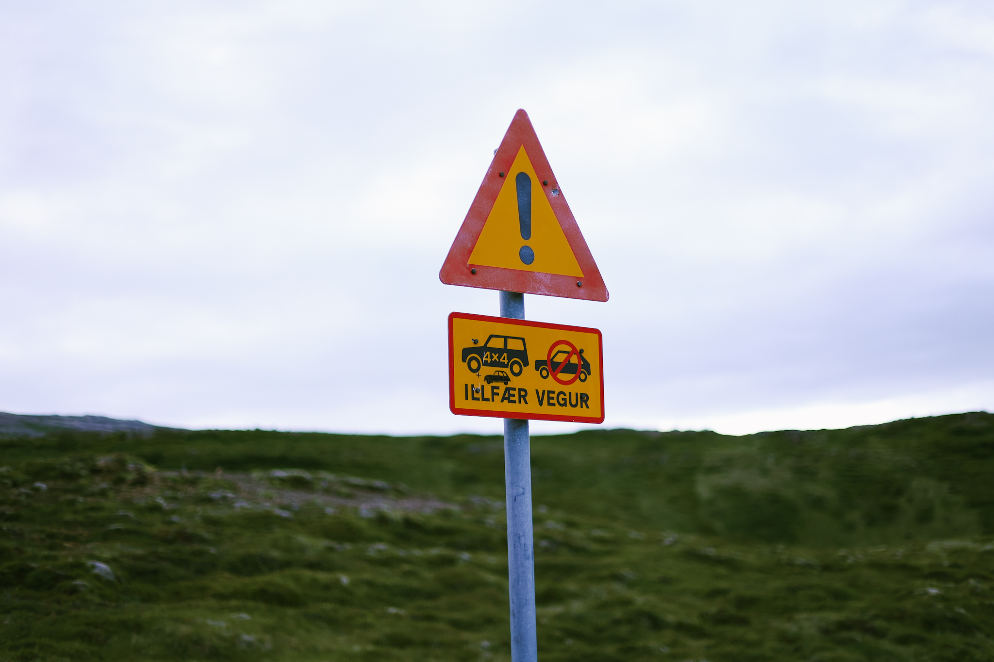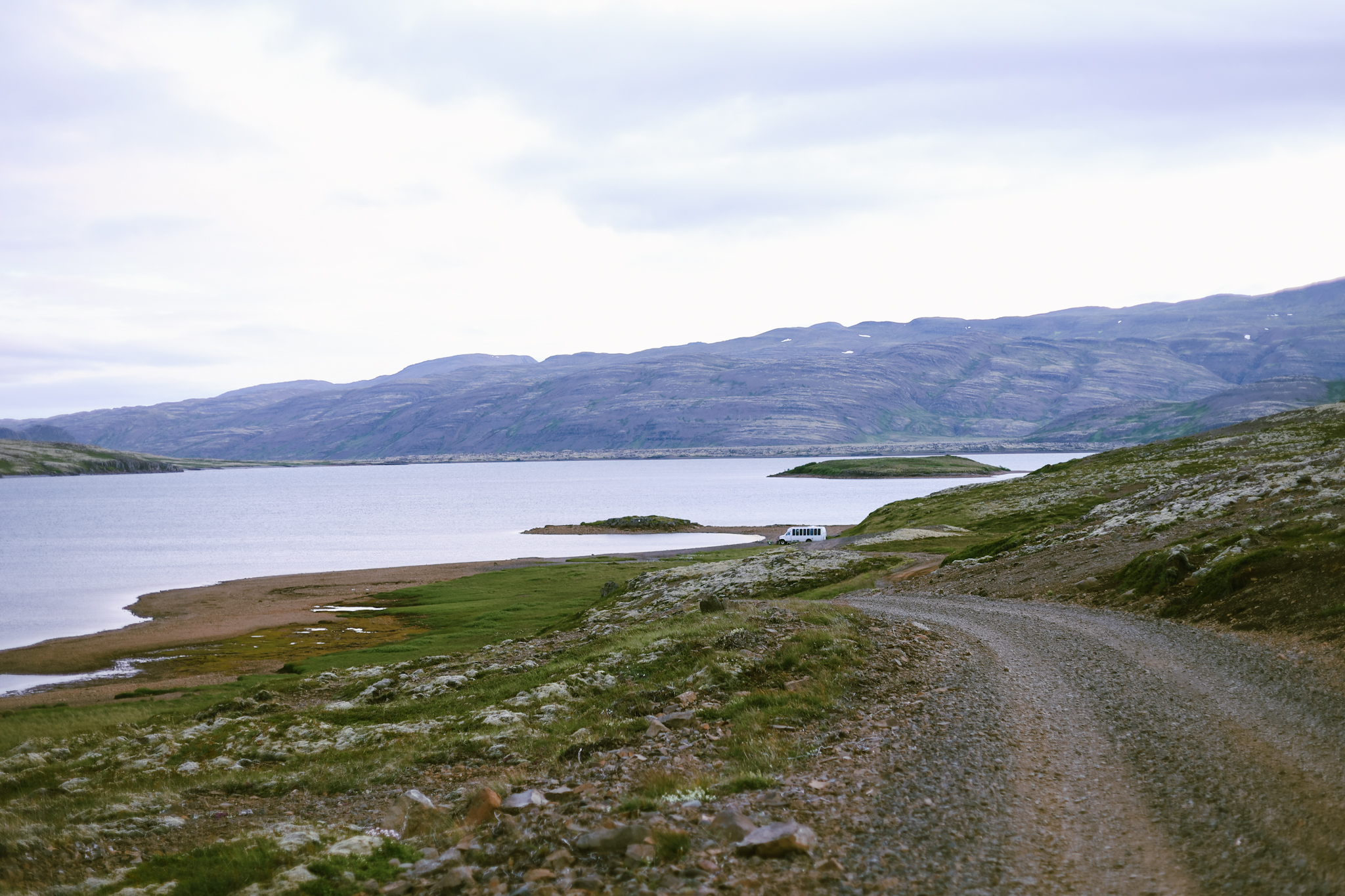


Located in the southern Langadal in Mýrasýsla, northeast of Grímsstaðamúlar, Langavatn is easily accessible from Borgarnes via Route 1, passing through Svignaskarð. A 13 km detour, suitable for regular vehicles, leads to the lake, ascending alongside Gljúfurá and continuing up Langá.
Langavatn covers approximately 5.1 km² and reaches a depth of 36 meters at its maximum. Nestled in picturesque surroundings, it stands 215 meters above sea level. Fed by the Langavatnsá from the north and the Beilá from the east, the renowned Langá flows southward from the southwest corner. The lake has been utilized for water reservoir purposes, leading to variations in its water levels. Prime fishing spots are found in the eastern part of the lake near islets, particularly in front of the search-and-rescue cabin.
Day licenses can be purchased to explore the rich fishing grounds of Langavatn.
Anglers are free to fish throughout the entire lake.
Fishing Card holders can camp by the lake free of charge, but no designated sanitation facilities are available.
Langavatn hosts both trout and char, ranging from small to large sizes. Net fishing is prohibited for Fishing Card holders.
Legal bait includes flies, worms, and spinners.
Fishing is generally consistent throughout the summer.
photos: langavatn.com